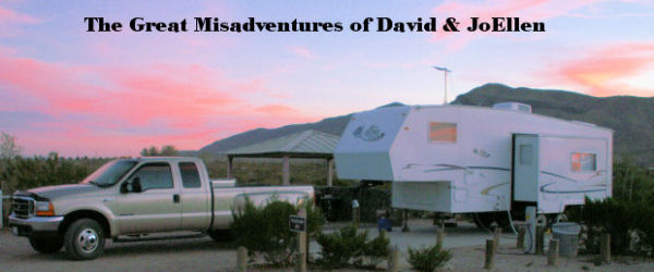
Anacortes - Fildago Island - Whidbey Island - Bellingham, Washington
July 12, through July 16, 2006
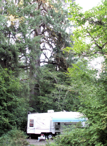
Made it to the Puget Sound. Our camp is located at Sunset Beach in Washington Park, Anacortes, a city owned facility. 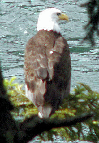
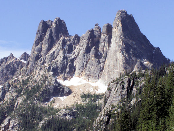
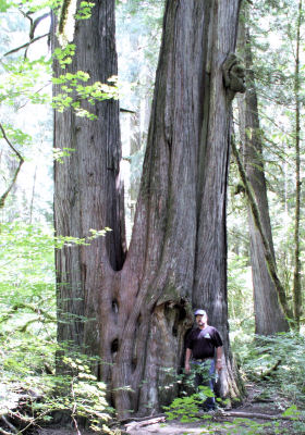
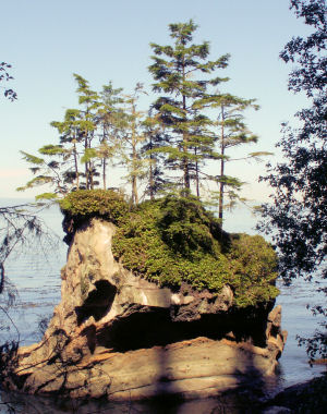
This forest we have been visiting extends right to the edge of the water. It is also so dark that inside lights are needed during the day. Daytime highs are around 75 and new weather terms have been learned from the local weathercasts: rainshadow, the area north and east of the Olympic Mountains that do not receive huge amounts of rain as the mountains on the west side squeeze most of the moisture from the clouds; and sun breaks, an optimistic way of saying mostly cloudy.
This eagle was found at Deception Pass State Park while out walking the forest.
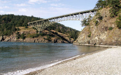
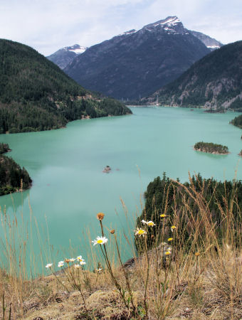
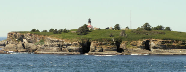
Whidbey Island is reached via the twin spans of the Deception Pass Bridge, which offers spectacular views as it crosses a saltwater canyon where 10-knot currents roar 200 feet below. The adjacent state park features miles of trails, old-growth forests, wildlife and views.
The Maiden of
Deception Pass
A Native American Love Story

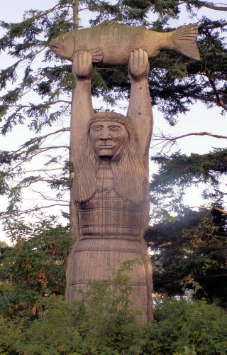
Ko-kwal-alwoot was a beautiful Samish Indian girl living in a village on Fildago Island. She was gathering seafood one day when a young man from beneath the sea saw her and fell in love. But when this man of the sea asked her father for her hand in marriage, he refused, for fear she would drown. The young man warned Ko-kwal-alwoot's father that the seafood would disappear unless she married him. When his warning proved to be true, Ko-kwal-alwoot's father granted permission for the marriage. The beautiful woman waded into the sea to join her new husband. Once again the seafood returned and was plentiful. Ko-kwal-alwoot returned to her people once a year for four years. Barnacles had grown upon her hands and arms, and her long raven hair turned to kelp. Chill winds followed wherever she walked, and she seemed to be unhappy out of the sea. Seeing this, Ko-kwal-alwoot's people told her she did not need to return to them. Since that day, she has been the Samish Tribe's guiding spirit, and through her protection there has always been plenty of seafood and pure, sweet spring water.
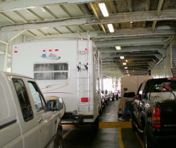
We leave the islands traveling in a Washington State Ferry across the channel into Port Townsend, on the Olympic Penninsula. This is the Toby cat's first boat ride, he dosen't hate traveling near as much after 20 thousand miles or so.
Seattle, Washington
July 22, 2006
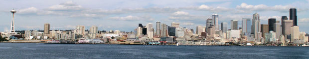
 Our first adventure from the Olympic Penninsula was to make a u-turn and take a ferry from Bambridge Island into downtown Seattle. Had a great time visiting all the sights and a fantastic day hiking the downtown and pier areas.
Gallery Photos, Click On Picture to Enlarge
|
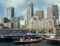
Fireboat in harbor | 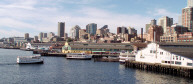
Seattle Harbor | 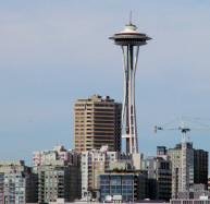
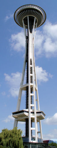
Space Needle |
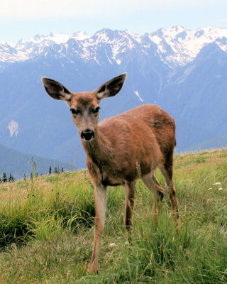
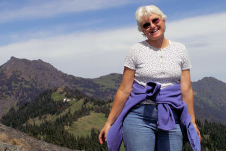
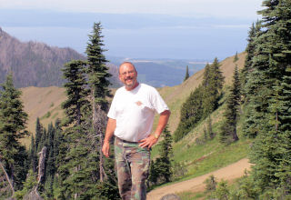
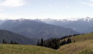
Olympic National Park
Olympic Penninsula, Washington
July 17, through July 24, 2006
Gallery Photos, Click On Picture to Enlarge
|
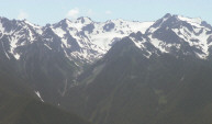
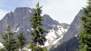
Mount Olympus |
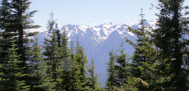
The Olympic Range | 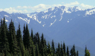
View from Hurricane Ridge |
The Makah Nation
Cape Flattery, Washington
July 21, 2006
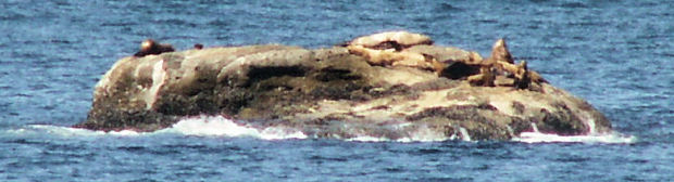
Seals sunning on a faraway rock island.
A beautiful drive along the Strait of Juan de Fuca to the most northwestern point in the contiguous United States was a treat for these mountain people eyes. The spectacular rocky headlands of the coast can be seen from many vantage points. The native people that live here call themselves "Kwih-dich-chuh-ahtx" or "People who live by the rocks and seagulls".
The name Makah, which was given to them by neighboring tribes, means "Generous with food". These people have historically hunted whales and seals, and to this day, are the only Native American Tribe with the right to hunt whales guaranteed by treaty. There is an execellent museum at Neah Bay housing 500 year old artifacts uncovered from the village of Osett.
Gallery Photos, Click On Picture to Enlarge
| 
At the most | 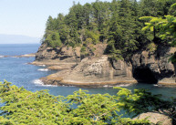
northwest point in | 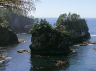
the contiguous USA |
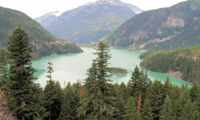
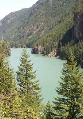
Hoh Rain Forest,
Olympic National Park, Washington
July 23, through July 24, 2006

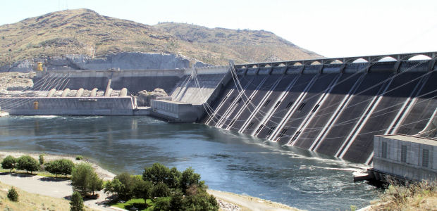
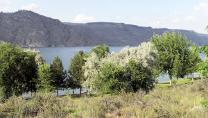
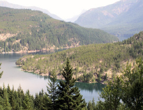
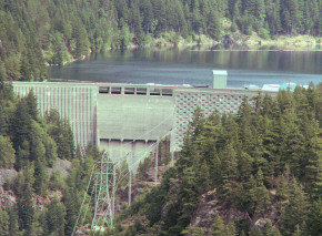
 When this dam was built, it was the largest masonry structure since ancient Egypt's pyramids. Roosevelt Lake backs up the Columbia River well into Canada, with over 200 miles of shoreline.